
LandBenchmark
ストックにはログインが必要です
出典つきで、購入前に任意の区画をチェックする
Artificial Intelligence
SaaS
Maps
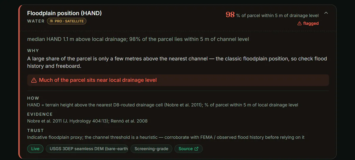
LandBenchmark は、地球上の任意の区画を描くと 55 指標を測定します。洪水・湿地・土壌・斜面・基岩までの深さ・保護区域・汚染・アクセスなどを含み、各値には出典機関と観測日、出典リンクが付されます。自社の測定誤差率も公表しており、未検証箇所は UNMEASURED と理由が明記します。34地域で利用可能、米国データは特に充実。
使い方と提供形態:
- REST API と MCP サーバーを用意
- アカウントあたり1件の無料レポート、Pro は月19ドル・3日トライアル
- 公開サンプルレポートあり
データ品質と透明性:
- 公的データの検証・バグ修正の事例を公開
- 誤差の評価方法と限界を公開
投票数: 3